Event Series NOAA CoastWatch Satellite Course

CoastWatch Training on Satellite Data for Sea Grant & Partners

The goal of the course is to familiarize NOAA/university researchers, Sea Grant professionals and agency/organization partners with different types of ocean satellite data, different tools, and teach participants how to use satellite data in their own research/outreach using their choice of software (R, python, ArcGIS/QGIS, Matlab). To attend the course, register at https://bit.ly/NOAACoastWatchSatelliteCourse. The course […]

Event Series 2023 Water Ambasssador Webinars

2023 Water Ambassador Webinar Series

Join UF/IFAS Extension for the Virtual Water Ambassador lunch and learn webinar series. The Water Ambassador Program is an educational partnership between Martin County and UF/IFAS Extension that unites and empowers residents who have an interest in protecting local waterways and giving back to their communities. The program provides a way for motivated individuals to […]

Event Series Nature Coast Currents Webinar Series

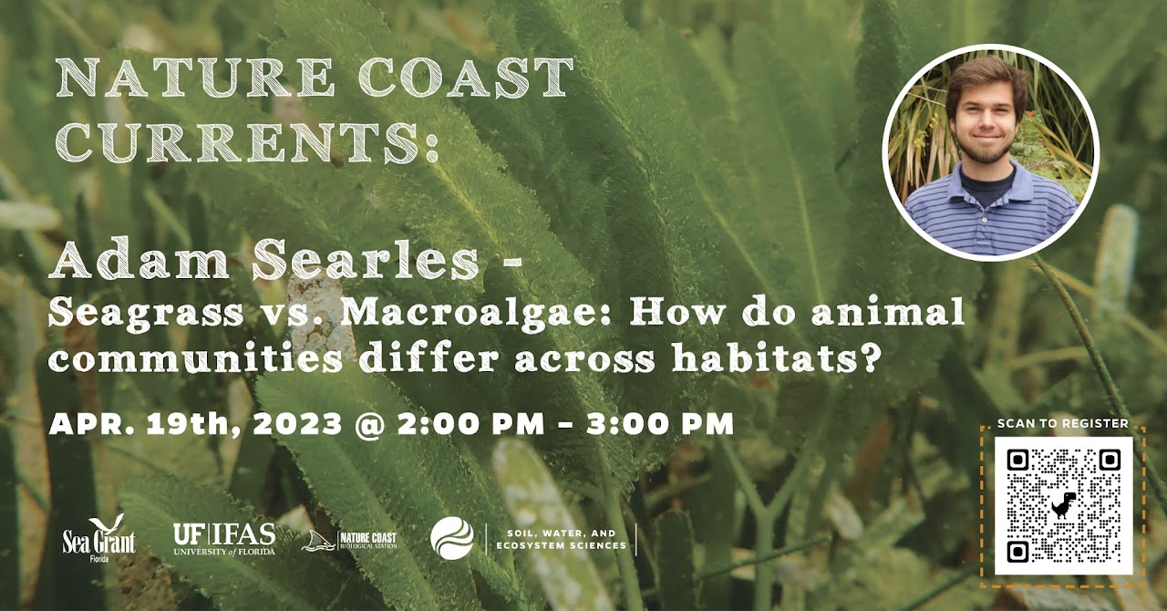
Seagrass vs. Macroalgae: How Do Animal Communities Differ Across Habitats?

Both seagrasses and macroalage are green and photosynthesize. Adam Searles will present his research on how they are different and how plant cover type can impact what animals live there. This extension webinar series aims to communicate and catalog research happening along the Nature Coast, but especially along the southern portion that is encompassed by […]

Event Series NOAA CoastWatch Satellite Course

CoastWatch Training on Satellite Data for Sea Grant & Partners

The goal of the course is to familiarize NOAA/university researchers, Sea Grant professionals and agency/organization partners with different types of ocean satellite data, different tools, and teach participants how to use satellite data in their own research/outreach using their choice of software (R, python, ArcGIS/QGIS, Matlab). To attend the course, register at https://bit.ly/NOAACoastWatchSatelliteCourse. The course […]

In-Person Introductory Training in Geographic Information Systems (GIS)

UF CALS Computer Lab 1676 McCarty Drive, McCarty Hall B, Bldg. 0496, Room 3086, Gainesville, FL, United States

In this introductory training, you will be introduced to ArcGIS Desktop, the primary product used by professionals to compile, analyze, and manage geographic information. You will learn the most commonly used GIS skills in the industry today by completing "real-world" exercises that will build your confidence using GIS, increase your awareness about GIS data sources, and help you explore GIS tools to enhance your program and research projects.

$50 – $550
Event Series NOAA CoastWatch Satellite Course

CoastWatch Training on Satellite Data for Sea Grant & Partners

The goal of the course is to familiarize NOAA/university researchers, Sea Grant professionals and agency/organization partners with different types of ocean satellite data, different tools, and teach participants how to use satellite data in their own research/outreach using their choice of software (R, python, ArcGIS/QGIS, Matlab). To attend the course, register at https://bit.ly/NOAACoastWatchSatelliteCourse. The course […]

Event Series 2023 Water Ambasssador Webinars

2023 Water Ambassador Webinar Series

Join UF/IFAS Extension for the Virtual Water Ambassador lunch and learn webinar series. The Water Ambassador Program is an educational partnership between Martin County and UF/IFAS Extension that unites and empowers residents who have an interest in protecting local waterways and giving back to their communities. The program provides a way for motivated individuals to […]

Event Series NOAA CoastWatch Satellite Course

CoastWatch Training on Satellite Data for Sea Grant & Partners

The goal of the course is to familiarize NOAA/university researchers, Sea Grant professionals and agency/organization partners with different types of ocean satellite data, different tools, and teach participants how to use satellite data in their own research/outreach using their choice of software (R, python, ArcGIS/QGIS, Matlab). To attend the course, register at https://bit.ly/NOAACoastWatchSatelliteCourse. The course […]