Harmful Algal Blooms: On The National Stage & In Louisiana

Florida Sea Grant's NOAA Harmful Algal Blooms Liaison Betty Staugler will be joining Louisiana Sea Grant on Wed, Oct. 12 for a webinar - Harmful Algal Blooms: On the national stage and in Louisiana. This virtual event is free and open to the public. To register, visit: https://lsu.qualtrics.com/jfe/form/SV_cJgi4SpMhKZ5Tdc What you can expect to hear about: […]
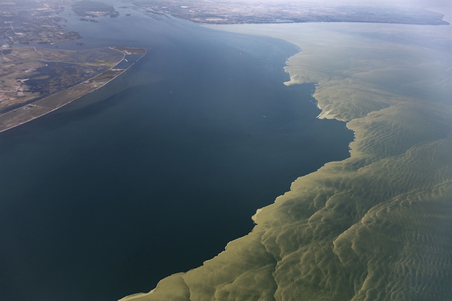
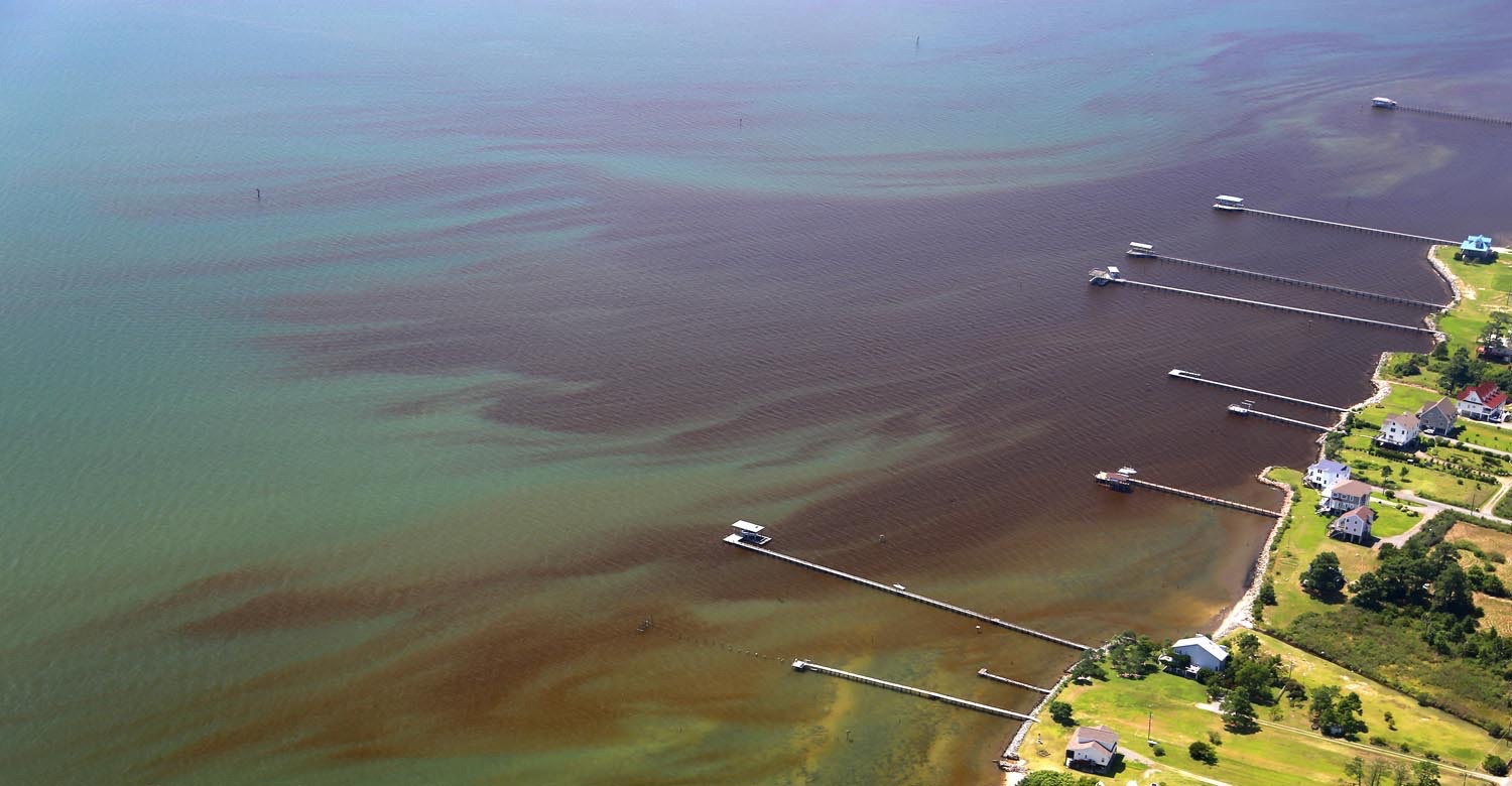
Mechanisms for Improved Detection of HABs Using Satellites (Workshop at U.S. Symposium on Harmful Algae)

Hilton Albany 40 Lodge St, Albany, United States

In conjunction with the U.S. Symposium on Harmful Algae (register via conference), Betty Staugler is joined by Richard Stumpf, NOAA NCCOS, and Michelle Tomlinson, NOAA NCCOS, to convene a workshop to discuss mechanisms for improved detection of HABs using satellites. This workshop will provide: an opportunity for participants to discuss their HAB detection and forecasting needs, […]

Applying Novel Techniques to Assess & Forecast HABs in Chesapeake Bay (By Invitation)

Join us for the “Applying Novel Techniques to Assess and Forecast Harmful Algal Blooms (HABs) in Chesapeake Bay to Protect Fisheries, Aquaculture and Human Health” workshop. Due to size limitations, we politely request that only invited attendees participate. The purpose of the workshop is to assess HAB forecasting opportunities & limitations at scales needed for […]

Event Series NOAA CoastWatch Satellite Course

CoastWatch Training on Satellite Data for Sea Grant & Partners

The goal of the course is to familiarize NOAA/university researchers, Sea Grant professionals and agency/organization partners with different types of ocean satellite data, different tools, and teach participants how to use satellite data in their own research/outreach using their choice of software (R, python, ArcGIS/QGIS, Matlab). To attend the course, register at https://bit.ly/NOAACoastWatchSatelliteCourse. The course […]