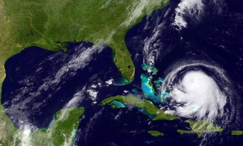

The goal of the course is to familiarize NOAA/university researchers, Sea Grant professionals and agency/organization partners with different types of ocean satellite data, different tools, and teach participants how to use satellite data in their own research/outreach using their choice of software (R, python, ArcGIS/QGIS, Matlab).
To attend the course, register at https://bit.ly/NOAACoastWatchSatelliteCourse.
The course will cover :
(Note: Some basic experience with at least one software is required. Given the length of the course, it will not be possible to teach people R or ArcGIS from scratch for example.)
The course will be a mix of video lectures, self-paced tutorials, live demos, live and forum discussions and “office hours”.
Participants will also work on a short personal project to better assimilate the course contents and leave the class with ready to use scripts adapted to your needs.
Live virtual class sessions will be once a week on Wednesdays 3-5pm EST, plus optional office hours from Jan. 18th to Feb. 15th. You can expect to spend several hours a week on your own to go over self-paced materials or work on your project. Instructors will be available during the week to answer questions or help troubleshoot, on demand.
The last session will be a 2-3h project presentation day.